Fort Pierce artesian wells, 1905 to 1913
The Fort Pierce artesian wells in these records begin at an ice plant. In 1905 the St. Lucie Ice Company drilled 812 feet down for the water it needed. In 1909 a town paper printed a federal warning that East Coast wells were being left to run to waste. And in 1913 two government surveys, one state and one federal, published what lay under the town: how deep the limestone was, how high the water rose, and what it tasted like.
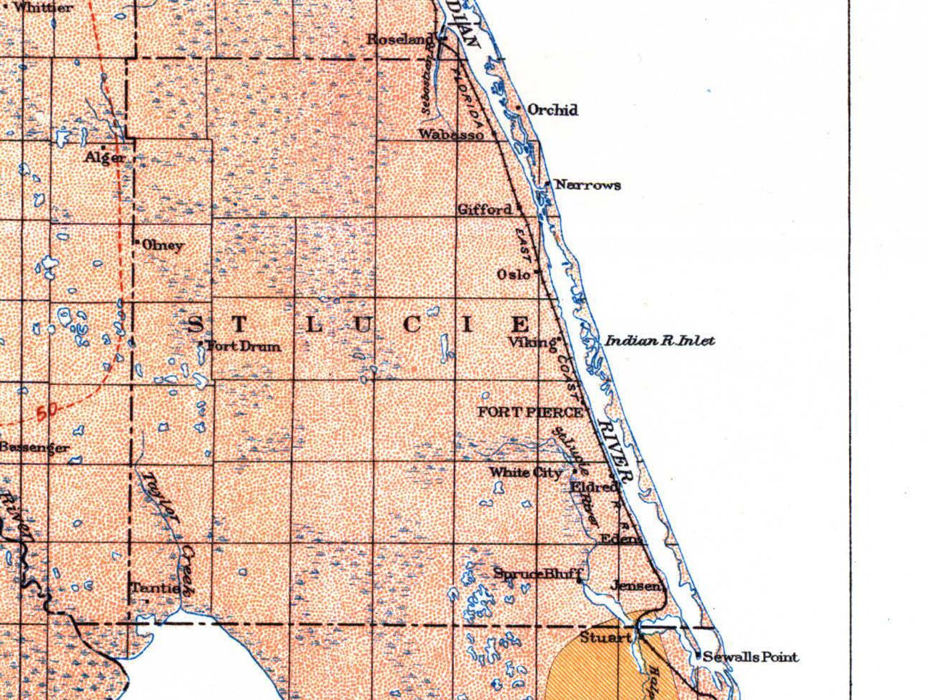
Fort Pierce artesian wells in 1905: the ice plant
In the late summer of 1905 the St. Lucie Ice Company’s new factory at Fort Pierce was installing its machinery but could not start making ice. Its first artesian well was not thought sufficient, and another had to be bored. Two men from Melbourne came to put down the new well. By the middle of September it had reached eighty feet, and for a week the town heard the dull thud of the drilling machinery.
The well was finished on Thursday, November 2, 1905, the same week the factory’s hundred-foot smokestack went up. It was a four-inch bore, 812 feet deep, with a fine flow of water. Both 1913 surveys put the ice company’s wells at that same depth, though they disagree with each other on the bores and the casing.
What the drill went through
The fullest record of what lies under Fort Pierce comes from another deep well, drilled for the Florida East Coast Railway in 1912. The railway gave its log to the state survey, which printed it in full. Going down, the drill passed through:
- sand, shell and gravel, with some clay, to 120 feet;
- blue clay, sandy in places, to 460 feet;
- yellow and blue clays, some very hard or sticky, to 647 feet;
- shell and soft rock, tough white clay and hard white rock, to 676 feet;
- soft rock with a small flow, then soft limestone with the flow “increasing very slowly with depth,” to 807 feet;
- hard rock to the bottom, at 814 feet.
By the railway’s own figures, the water rose 28 feet 6 inches above the ground and 46 feet above the Indian River, and the well flowed 800 gallons a minute at the surface.
The two surveys place the top of the limestone differently. The federal log of the ice company’s well found it at 670 feet and went 142 feet into it; the state survey was told the first flow came from limestone at 725 to 750 feet. Both call the water-bearing rock the Vicksburg limestone, the name in use in 1913. Our geological timeline describes Florida’s limestones as geologists name them today.
Salt below, household water near the top
The deep water was salty. An analysis printed by the state survey found the ice company’s water high in sodium and chlorine; it tasted brackish and was used for cooling in the making of ice. The railway’s well tested at 83 grains of dissolved solids to the gallon, more than half of it common salt.
The federal survey’s verdict covered the whole county: “Flowing wells could probably be obtained in nearly all parts of the county, but the water is salt. However, artesian water is used at Fort Pierce and could doubtless be used elsewhere.”
Household water came from much nearer the surface. The state survey found the town’s domestic supply in shallow wells 12 to 50 feet deep, and the federal survey noted that water was readily found in the county at less than 30 feet, though it was sometimes of doubtful sanitary quality.
The warning, 1909 and 1913
In March 1909 The St. Lucie County Tribune printed a warning to users of artesian wells, taken from a bulletin of the United States Geological Survey. Flowing wells were so easy to get along the East Coast, it said, that people treated them as an inexhaustible supply, and deep wells left to run to waste could be seen at many places.
Geologists of the federal and state surveys had compared wells shut off when not in use with wells left flowing, and the uncapped wells lost head or volume within a few years. Where many wells of about the same depth had been drilled in one town, the flow was decidedly less than at first. The warning named Jacksonville, St. Augustine, New Smyrna, Daytona and Palatka.
The state survey of 1913 put it more sharply: “A State, a community, or an individual that permits the useless and reckless waste of artesian water will ultimately find a most valuable asset impaired by extravagance, and possibly no longer adequate.” It closed that section with a recommendation: “A law restricting the waste of artesian water is urgently recommended.” Neither survey records a loss of flow in the Fort Pierce artesian wells themselves; the warnings were for the state as a whole.
Sources
The 1905 well and the 1909 warning come from The St. Lucie County Tribune, digitized by the Library of Congress in Chronicling America: September 8, September 15 (page 1 and page 5) and November 3, 1905, and March 26, 1909. The 1913 measurements come from E. H. Sellards and Herman Gunter, “The artesian water supply of eastern and southern Florida,” Florida Geological Survey, Fifth Annual Report (1913), pages 140, 152 and 245 to 248 (Internet Archive), and from G. C. Matson and Samuel Sanford, Geology and Ground Waters of Florida, U.S. Geological Survey Water-Supply Paper 319 (1913), pages 398 to 400 (USGS).
Frequently asked questions
What is an artesian well?
As the 1913 state survey used the term, artesian water is water under pressure, which rises in a boring when it is tapped, and an artesian well is one that taps it. If the water rises above the ground and spills over, the well is a flowing well. The same water may flow on low ground and fail to flow on slightly higher ground nearby.
How deep were the Fort Pierce artesian wells?
The St. Lucie Ice Company’s well, finished in November 1905, was 812 feet deep, and the Florida East Coast Railway’s well of 1912 went to 814 feet. The records put the top of the water-bearing limestone between about 670 and 750 feet.
Was the artesian water at Fort Pierce salty?
Yes. The state survey found the ice company’s water high in sodium and chlorine and brackish to the taste, and the federal survey said the county’s flowing-well water was salt. The town’s household water came from shallow wells 12 to 50 feet deep.